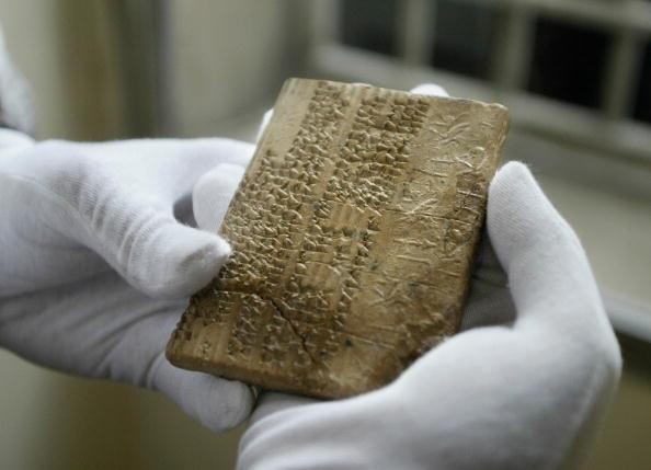
An Archaemenian clay tablet, in the Elamite scripts, which were written in cuneiform writing, is shown at Iran's National Museum in Tehran, on May 1, 2004. BEHROUZ MEHRI/AFP/Getty Images
ishtartv.com - newsweek.com
By Kastalia Medrano On
11/14/17
Scientists
have proposed a way to use 4,000-year-old cuneiform
tablets as a map to the world’s ancient lost cities.
More
than 20,000 Assyrian clay tablets from the Bronze Age have been recovered in
what we know today as Turkey, describing the economy and daily lives of
Assyrian merchants at the time, including shipping expenses, trade
contracts, and so forth. Three economists and a historian analyzed them and
found not just a “flourishing market economy, based on free enterprise and
private initiative, profit-seeking and risk-taking merchants,” but a road map
to 11 ancient cities. They presented the findings in a new working
paper for the National Bureau of Economic Research
As
the authors explain in the paper, large metropolitan cities tend to crop up
organically along existing trade routes. By extrapolating day-to-day
itineraries of Assyria’s merchants, the researchers teased out a portrait of
the networks between more than two dozen major cities of the time, 11 of which
haven’t yet been located. Since cities are more likely to trade frequently with
the cities they’re closest to, these 4,000-year-old receipts make for extremely
promising clues about just where those 11 lost cities might be. We might be
able to find them using algorithms based on the cuneiform data. The authors
have already tested their model on known locations, concluding that while for
peripheral cities it may be inaccurate, it’s consistently held up when applied
to central cities.
“In
a rare example of collaboration across disciplines, we use a theory-based
quantitative method from economics to inform this quest in the field of
history,” the authors wrote in the paper. “The structural gravity model
delivers estimates for the coordinates of the lost cities. For a majority of
cases, our quantitative estimates are remarkably close to qualitative proposals
made by historians. In some cases where historians disagree on the likely site
of lost cities, our quantitative method supports the suggestions of some
historians and rejects that of others.”
They’ve
also already given their best guesses as to the locations of the 11 lost
cities, and hope that their work will be a valuable tool in future research
expeditions.
“In
four cases…our gravity estimates for the location of lost cities are extremely
close to the conjecture of at least one of the two historians,” the authors
wrote. “We view these cases where our structural gravity estimates agree with
at least one historian’s proposal as an endorsement that the true location of
those cities is indeed at or very near those sites…those converging views are
unlikely to be coincidental.”
|